Blog
 Guides
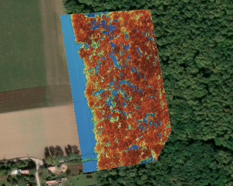
What does Auto Count need from your drone map?
Auto Count requires an RGB orthophoto and a DSM. Learn what each layer contributes and how to check your project before using the detected object count.
 Guides
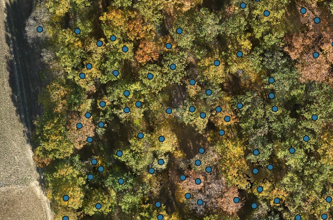
Can you count trees and bales from a drone survey?
Use a drone survey to count visible trees and bales, check their positions and understand where overlapping crowns or stacked objects can affect the result.
 Guides
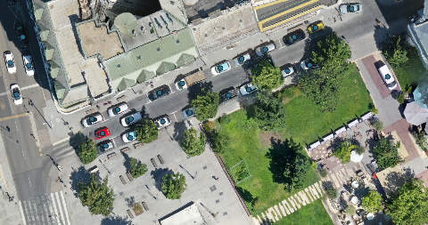
Meet Auto Count: count objects on your drone maps
MapperTool Auto Count detects objects such as trees, cars, bales and buildings, gives you a count and shows the results directly on your map.
 Thermal map
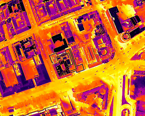
Can a thermal drone survey find insulation problems?
Thermal drone surveys can locate areas worth investigating, but a warm patch does not prove missing insulation. Learn when to fly and how to interpret the results.
 Outputs explained
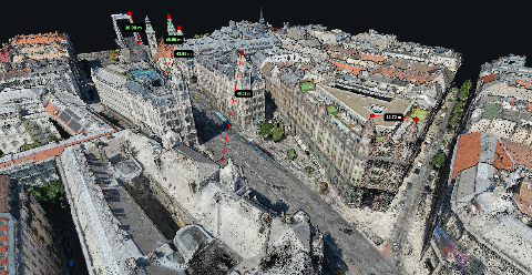
Understanding Point Cloud Formats
LAZ keeps point cloud data compact without losing detail. Learn when to send LAZ, when LAS conversion helps, and when your client only needs a browser link.
 Tutorials
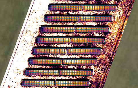
Solar inspections with MapperTool
Follow a practical Solar Inspect review: inspect individual panels, correct outlines, add missed panels and check fault labels before creating a PDF report.
 Thermal map
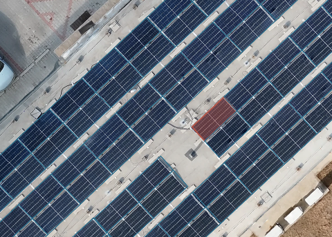
Introducing MapperTool Solar Inspect
Solar Inspect is now available for Pro subscribers, with automatic panel recognition, fault detection, manual corrections and PDF reports from thermal and RGB maps.
 Thermal map
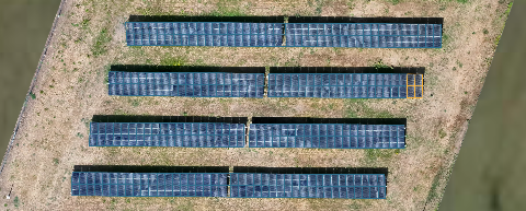
Solar farm inspection with a drone
A useful solar farm survey shows which panels need attention and where to find them. Learn how thermal and RGB imagery support inspection across a large site.
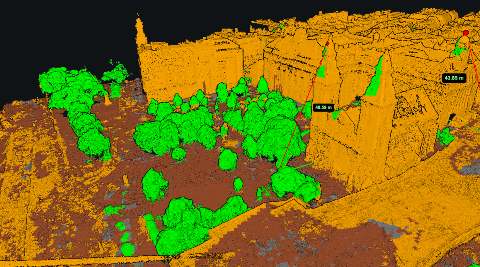 Outputs explained
Point cloud classification
Learn what ground, vegetation, building and noise classes mean, how automatic classification can go wrong, and what to check before using a cloud for terrain work.
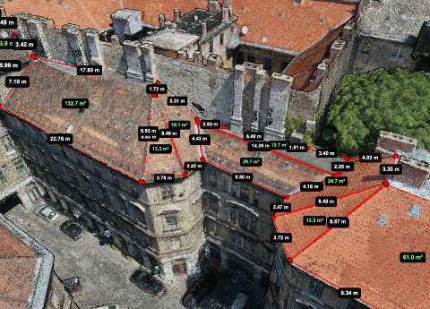 Measurement
What you can actually measure on a 3D point cloud
Roof slopes, wall dimensions, tree heights and clearances need different measurements. Here is how to choose the right one and recognise missing geometry.
Outputs explainedHow drone photos become a 3D point cloud
Follow a photo set through feature matching, camera alignment, depth estimation and filtering to understand where a point cloud comes from and why gaps appear.
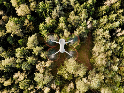 Guides
What is photogrammetry?
Photogrammetry uses overlapping photographs to reconstruct shapes and take measurements. Learn how it works, what a drone survey can produce and where the method has limits.
 Choosing software
Free drone mapping software: what free really costs
Free software can process a survey, but delivery still takes work. Compare local tools, cloud plans and trials before choosing your workflow.
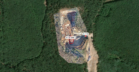 Choosing software
Do you need GIS software to view and share drone maps?
A browser viewer can handle many drone-map reviews. Use GIS when you need maintained records, additional layers or repeatable spatial analysis.
 Guides
Free elevation data or your own drone flight
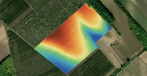
Before booking a flight, check what already exists. Free elevation data may answer the question, provided its surface, detail and capture date fit the job.
Outputs explainedWhat is a digital terrain model, and when do you need it?
A DTM is the bare ground with everything on top of it removed. That removal is a calculation, not a measurement, and knowing where it fails is the whole skill.
 Outputs explained
What is a digital surface model, and when do you need one?
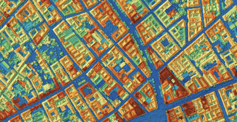
A DSM is the elevation of the top of everything the camera saw. Here is what that includes, where free data stops being enough, and how to read one honestly.
 Choosing software
Best photogrammetry platforms in 2026
Compare six photogrammetry platforms by setup, outputs, pricing and sharing. See which options fit cloud processing or desktop work.
 Thermal map
How to make thermal drone surveys
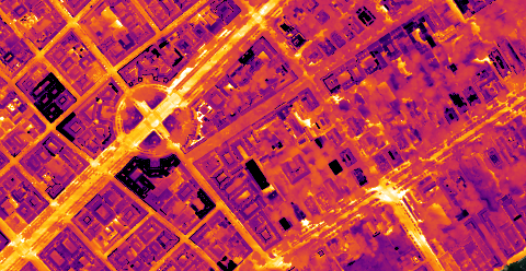
What a thermal camera actually measures, why that is not insulation, and the conditions and fault signatures that decide whether a survey is worth flying.
 Vegetation map
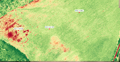
How to make an NDVI map from multispectral drone images
A usable NDVI map needs the right sensor, a calibration step and a flight flown for the index rather than for the picture. Here is the working order.
 Measurement
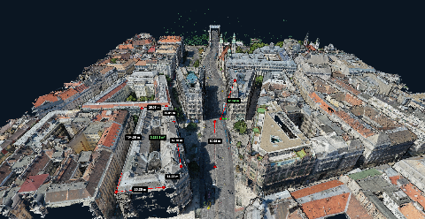
Measuring area, distance and height on a drone map
Measure distance, area and height on your drone map. Choose the right layer, understand the result and check accuracy before sharing the numbers.
 Tutorials
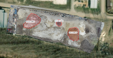
Stockpile volume measurement with a drone
A repeatable field to number workflow for stockpile volumes: the flight, the boundary, the base surface, and the checks that keep the figure defensible.
 Guides
Sharing a drone map with a client
Share a drone map with a browser link or email invitation. Choose viewing, measurement and download access, then set an expiry that fits the job.
 Outputs explained
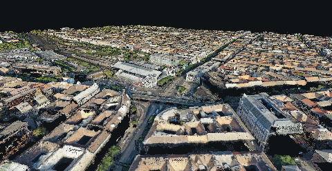
Point cloud or 3D mesh
A point cloud is a measurement. A mesh is an interpretation of it. Knowing which one the client needs saves a delivery that nobody can open.