Outputs explained
 Outputs explained
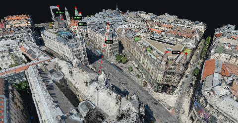
Understanding Point Cloud Formats
LAZ keeps point cloud data compact without losing detail. Learn when to send LAZ, when LAS conversion helps, and when your client only needs a browser link.
 Outputs explained
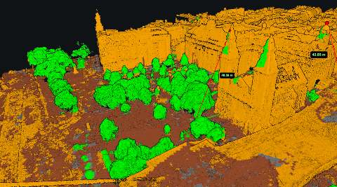
Point cloud classification
Learn what ground, vegetation, building and noise classes mean, how automatic classification can go wrong, and what to check before using a cloud for terrain work.
Outputs explainedHow drone photos become a 3D point cloud
Follow a photo set through feature matching, camera alignment, depth estimation and filtering to understand where a point cloud comes from and why gaps appear.
 Outputs explained
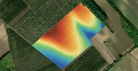
What is a digital terrain model, and when do you need it?
A DTM is the bare ground with everything on top of it removed. That removal is a calculation, not a measurement, and knowing where it fails is the whole skill.
 Outputs explained
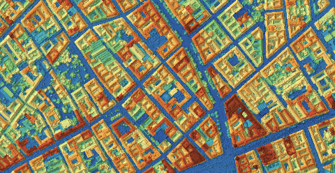
What is a digital surface model, and when do you need one?
A DSM is the elevation of the top of everything the camera saw. Here is what that includes, where free data stops being enough, and how to read one honestly.
 Outputs explained
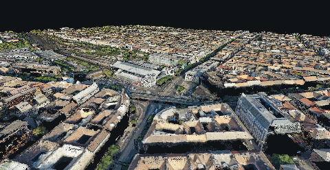
Point cloud or 3D mesh
A point cloud is a measurement. A mesh is an interpretation of it. Knowing which one the client needs saves a delivery that nobody can open.
 Outputs explained
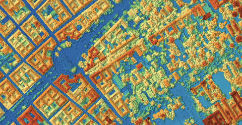
Orthomosaic - DSM - DTM: which one do you need?
An orthomosaic, a DSM and a DTM come from the same flight and answer completely different questions. Here is how to pick the right one.
 Outputs explained
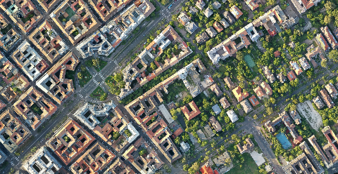
What is an orthomosaic? The map you can measure on
An orthomosaic is not a big aerial photo and not a panorama. It is a georeferenced image where scale is constant, so measurements taken on it hold up.