Thermal map
Guides (7)Thermal map (4)Outputs explained (8)Tutorials (2)Measurement (2)Choosing software (3)Vegetation map (1)Accuracy and GCPs (1)
 Thermal map
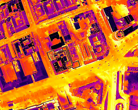
Can a thermal drone survey find insulation problems?
Thermal drone surveys can locate areas worth investigating, but a warm patch does not prove missing insulation. Learn when to fly and how to interpret the results.
 Thermal map
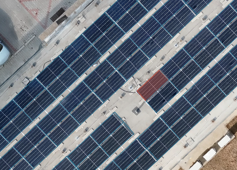
Introducing MapperTool Solar Inspect
Solar Inspect is now available for Pro subscribers, with automatic panel recognition, fault detection, manual corrections and PDF reports from thermal and RGB maps.
 Thermal map
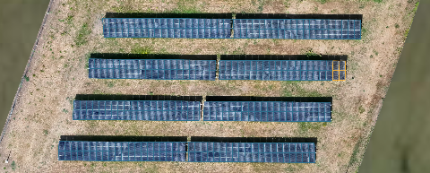
Solar farm inspection with a drone
A useful solar farm survey shows which panels need attention and where to find them. Learn how thermal and RGB imagery support inspection across a large site.
 Thermal map
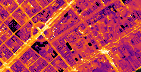
How to make thermal drone surveys
What a thermal camera actually measures, why that is not insulation, and the conditions and fault signatures that decide whether a survey is worth flying.