Guides
 Guides
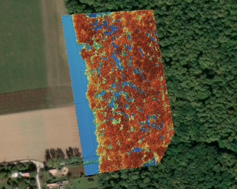
What does Auto Count need from your drone map?
Auto Count requires an RGB orthophoto and a DSM. Learn what each layer contributes and how to check your project before using the detected object count.
 Guides
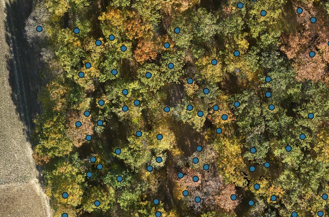
Can you count trees and bales from a drone survey?
Use a drone survey to count visible trees and bales, check their positions and understand where overlapping crowns or stacked objects can affect the result.
 Guides
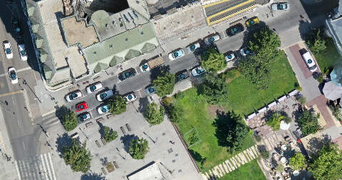
Meet Auto Count: count objects on your drone maps
MapperTool Auto Count detects objects such as trees, cars, bales and buildings, gives you a count and shows the results directly on your map.
 Guides
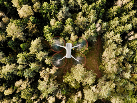
What is photogrammetry?
Photogrammetry uses overlapping photographs to reconstruct shapes and take measurements. Learn how it works, what a drone survey can produce and where the method has limits.
 Guides
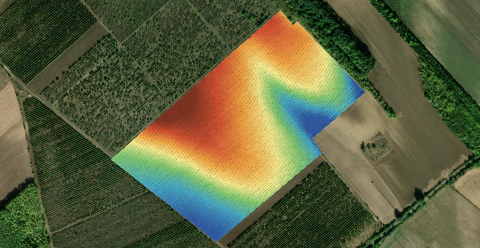
Free elevation data or your own drone flight
Before booking a flight, check what already exists. Free elevation data may answer the question, provided its surface, detail and capture date fit the job.
 Guides
Sharing a drone map with a client
Share a drone map with a browser link or email invitation. Choose viewing, measurement and download access, then set an expiry that fits the job.
GuidesHow many photos does a drone map need? The arithmetic
Photo count is not something you choose. It falls out of your flight height, your overlap and the size of the site. Here is the arithmetic.