Choosing software
Guides (7)Thermal map (4)Outputs explained (8)Tutorials (2)Measurement (2)Choosing software (3)Vegetation map (1)Accuracy and GCPs (1)
 Choosing software
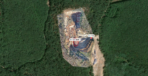
Free drone mapping software: what free really costs
Free software can process a survey, but delivery still takes work. Compare local tools, cloud plans and trials before choosing your workflow.
 Choosing software
Do you need GIS software to view and share drone maps?
A browser viewer can handle many drone-map reviews. Use GIS when you need maintained records, additional layers or repeatable spatial analysis.
 Choosing software
Best photogrammetry platforms in 2026
Compare six photogrammetry platforms by setup, outputs, pricing and sharing. See which options fit cloud processing or desktop work.