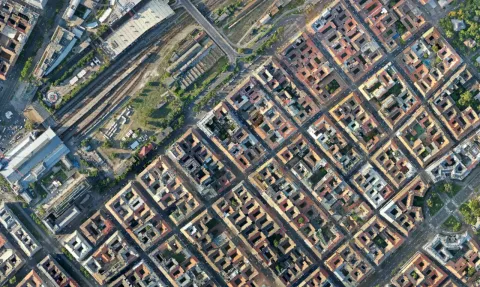
If you are choosing drone photo stitching software to measure a site, look for orthomosaic processing rather than ordinary panorama assembly. Both combine photographs, but they solve different problems. A panorama is designed to present a wider view. A mapping workflow must also account for camera position and surface geometry.
That difference matters when a building is tall, the ground changes level or the photographs were taken from different positions. A visually convincing join does not establish that a distance drawn across the image represents the ground distance you intend to measure.
Three questions before you choose a tool
Do you need a picture or a map? A panorama can be a good presentation image. An orthomosaic is the appropriate starting point when the task depends on geographic position and consistent map scale. Our orthomosaic guide explains the result in more detail.
Will the recipient measure or import it? If the client needs a georeferenced raster, agree on the format and coordinate reference system. A JPEG shown in a report is not a substitute for the agreed spatial dataset.
Do you also need the surface? Elevation and 3D outputs answer questions that a flat image cannot. Choose them deliberately rather than expecting every stitched picture to contain height information.
Where MapperTool fits
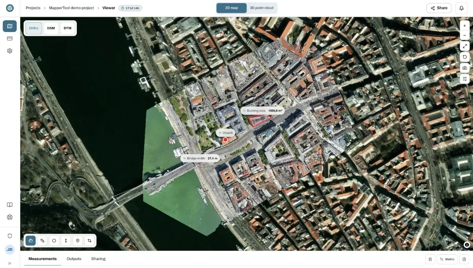
MapperTool processes suitable overlapping photographs into mapping outputs and keeps the review tools in the browser. You can request an orthomosaic alongside elevation data and a point cloud, then inspect the layers and make relevant measurements without moving the result between several viewing applications.
This gives you a practical test for the software choice. Process a representative area, inspect a few recognisable features and try the actual handover. On a plan with downloads, open the required export in the recipient's application. Use a shared project when they need an accessible visual review.
The capture still matters. Photographs need useful overlap and clear views of the surface. Missing edges, moving objects and blur can affect the reconstruction regardless of the software. The photo planning guide covers those input decisions.
Check the difficult joins
Inspect building edges, narrow structures and areas with changing elevation. Look for duplicated objects, displaced lines and gaps. Then check the feature involved in your intended measurement, not just the most attractive part of the image.
If you only need an overview picture, a panorama stitcher may be enough. For a map that people will measure, inspect or use in another spatial application, choose a complete photogrammetry workflow. MapperTool makes that route accessible from the original photographs through to a shared result.