The best farm mapping software depends on what you need to do with the field. Keeping crop records, guiding machinery, counting visible trees and reviewing an aerial survey are separate tasks. A product that handles one well may not cover the others.
For drone imagery, start with the result you want to inspect. MapperTool suits the route from survey photographs to agriculture maps, elevation layers and browser review. It also offers specialised analysis when the project contains the required data. That makes it worth considering when your immediate need is to understand a surveyed field or share the results with someone who knows it.
A current map of the farm
An RGB orthomosaic gives you a detailed visual record of what was visible on the capture date. It can help a team discuss access routes, field edges, storage areas and changes that need inspection. Elevation layers add another view where surface shape matters.
The practical software test is simple. Can you find the area you care about, inspect it at useful detail and take the measurement needed for the discussion? MapperTool lets you do that in the browser, with the map and available outputs kept in one project.
Do not treat a visible field edge as proof of a legal boundary. For day to day planning, label the feature you actually measured and retain the capture date with the result.
A count of visible objects
If the task is to count trees or bales, look beyond whether a product can display a photograph. You need to see which objects contributed to the total and correct the result when necessary.
MapperTool Auto Count works with an RGB orthophoto and a DSM. It detects supported object categories and shows their positions on the map alongside the count. The module is available with Plus and Pro subscriptions. Review the detections before using the result, especially where crowns overlap or objects are partly hidden.
Our farm counting guide explains the practical checks. A count from one survey describes what was visible at that time. It is not automatically a maintained farm inventory.
Vegetation patterns that deserve a closer look
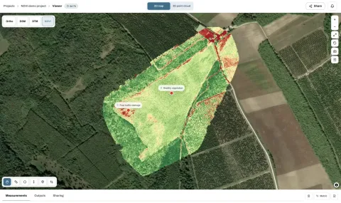
For NDVI maps, suitable multispectral imagery is a starting requirement. An ordinary RGB photograph does not contain the same spectral information. MapperTool's Pro plan supports NDVI processing from suitable inputs, allowing you to review variation across the field and identify places for further inspection.
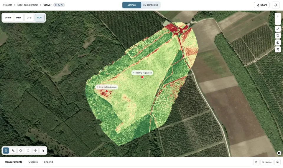
Use the map to organise field checks. A low index value can have several explanations, so interpreting it requires crop knowledge and conditions from the site. A useful software workflow helps you find and communicate the location rather than replacing that assessment.
The multispectral mapping guide covers the input and interpretation questions in more detail.
Test the handover as well as the processing
Before choosing a plan, send one representative project to the person who will use it. That might be a farm manager, an agronomist or a contractor. Confirm that they can find the relevant layer and understand the measurements or marked locations.
MapperTool's public sharing lets a recipient view a project without registration. Registering can keep the project in their account for convenient access later. Downloads and retained copies should also be part of the plan if the results need to remain available beyond the project's storage period.
Choose farm mapping software by these concrete tests: the imagery you can supply, the result you need, the review tools and the delivery. For processing and discussing drone surveys, MapperTool brings those steps together in a straightforward online workflow. Keep machinery control and farm administration as separate requirements when comparing the wider software stack.