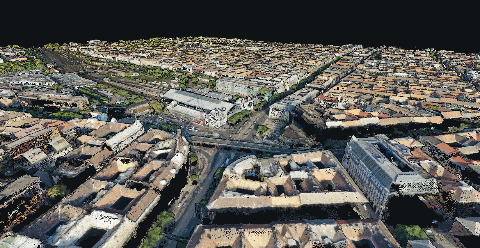
No. A point cloud can come from LiDAR, photogrammetry or another method that produces spatial points. Point cloud describes the form of the result. LiDAR describes one way of collecting observations used to create it.
This distinction matters when someone sends you a file and calls it a scan. The file may look convincing in a 3D viewer, but its appearance does not establish which surfaces were observed or how the positions were checked.
Where the points came from
LiDAR uses laser measurements to obtain ranges and combines them with the relevant positioning information. The USGS introduction to LiDAR describes the point cloud produced by reflected pulses.
Photogrammetry reconstructs geometry by matching features across photographs. MapperTool uses suitable imagery to produce a point cloud as part of its mapping workflow. Our reconstruction guide explains the stages behind that result.
Both can produce useful 3D data. Neither label removes the need to inspect the specific dataset.
Five questions to ask about a delivered cloud
What capture method and source data produced it?
When was the site captured, and what area is included?
Which coordinate system and units does it use?
Where are the missing or poorly observed surfaces?
What checks support its use for the proposed measurement?
Keep those answers with the dataset. A later user should not need to infer them from colours or filenames.
What the viewer can tell you
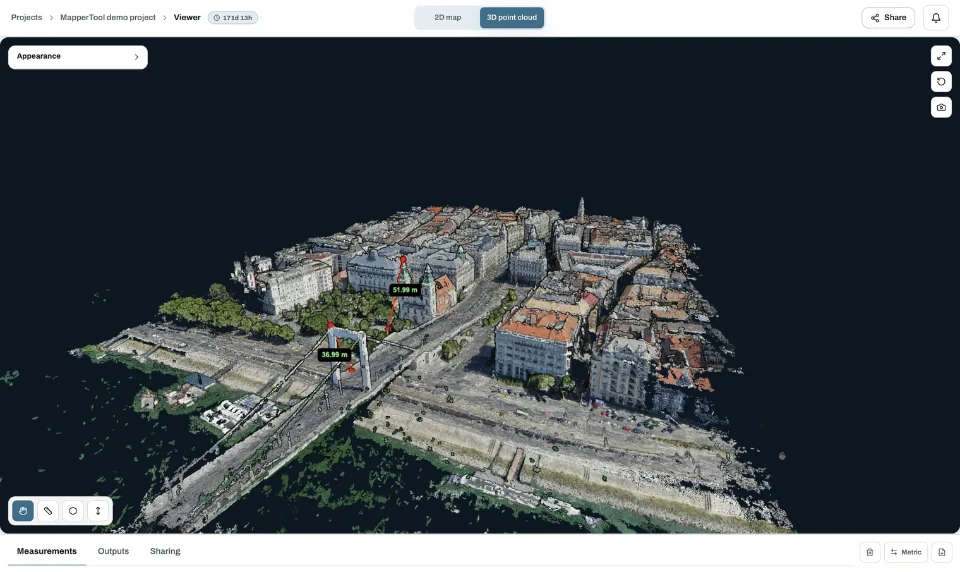
A 3D view helps you inspect continuity, holes and the visible form of a feature. Rotate the cloud and look at the surface involved in the job. A convincing roof does not prove that the wall beneath it was captured, and vegetation points do not prove that the ground is known.
MapperTool makes this review accessible in the browser for its processed projects. You can explore the geometry and consider it alongside the other available mapping outputs. This is useful for discussing the result before exporting a file or using a measurement.
The viewer does not replace provenance or independent accuracy checks. Likewise, a classification label describes how points were assigned to a category. It does not turn an unobserved surface into measured data.
If your question is how to interpret a received point cloud, start with its source and coverage. If you have survey photographs to process, MapperTool provides a direct way to generate and review a photogrammetric cloud. Use the method name accurately so that the next person understands what the dataset can support.