You can use a drone for photogrammetry when its photographs provide overlapping, usable views of the surface you want to reconstruct. A folder of attractive aerial pictures is not necessarily a mapping dataset. The software needs to recognise the same features across multiple images and place those observations consistently.
Before uploading an existing flight, check the originals, coverage and image detail. MapperTool's quality check helps with the dataset metadata before transfer, so you can identify several common problems before spending time on processing.
Start with the camera originals
Use original image files rather than screenshots or copies downloaded from a messaging service. Reprocessing a photograph can remove metadata or reduce detail. Keep an untouched copy of the survey before sorting the working set.
MapperTool needs GPS positions in the images. A set with missing geotags can stop processing, so fix or remove those files first. Its quality check documentation explains the checks for GPS, altitude, camera, timestamp and gimbal pitch.
One stray picture from a different location can make a dataset harder to understand. Remove unrelated files and select the set again. Keep the survey's intended coverage clear rather than combining photographs simply because they are in the same folder.
Look at where the camera went
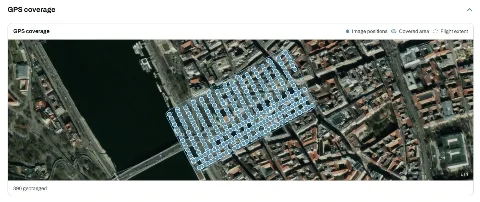
The map of image positions helps you spot gaps, interrupted flight lines and photographs outside the intended area. Check the edges of the job as carefully as its centre. A route that passes near a building does not prove that every required wall or roof edge was observed from useful angles.
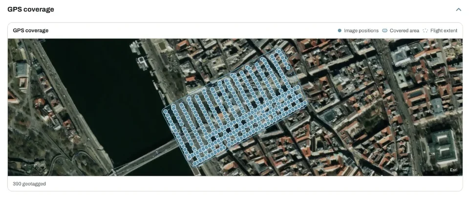
Estimated overlap is a helpful signal, but inspect representative photographs too. The same surface must appear clearly in several views. A large number of photos does not compensate for missing coverage in the part of the site that matters.
Our guide to planning orthomosaic photographs covers capture planning. Use it when the dataset needs another flight rather than trying to repair missing observations with a processing setting.
Inspect the detail that the result depends on
Open photographs at full size. Look for motion blur, poorly exposed areas and surfaces that change substantially between frames. Pay particular attention to the feature you intend to measure. An otherwise usable flight can still miss the important edge.
Reflective water, moving foliage and smooth surfaces with little texture can be difficult to reconstruct. Decide whether the job depends on those areas. A small gap outside the required site is a different problem from missing geometry beneath the measurement you plan to report.
Match the sensor to the requested output
RGB photographs support the ordinary visual mapping workflow. NDVI needs suitable multispectral input, and a temperature map needs suitable thermal data. Renaming files or selecting another output does not add information the camera did not capture.
MapperTool identifies the sensor data in the selected set and offers the relevant processing workflow. Check the required layers before planning an analysis module. Auto Count needs an RGB orthophoto and DSM. Solar Inspect needs RGB and thermal layers.
Decide whether to proceed, review or recapture
Proceed when the originals, positions, coverage and visible detail support the intended result. Review a mixed or inconsistent set before transfer. Recapture when the essential surface is missing or unusable.
A passed metadata check is not a guarantee of reconstruction quality. It is an early screening step. After processing, inspect the actual map and geometry before measuring or sharing a conclusion.
That sequence is one of MapperTool's practical strengths: you can check the dataset, process the necessary outputs and review the results within the same online workflow. Keep the source photographs and use the first result to verify that the job's real question has been answered.